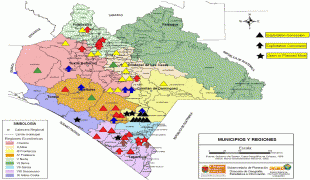
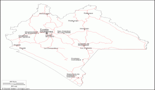
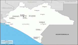
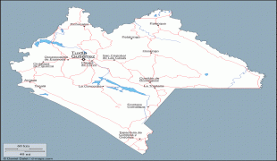
Chiapas (Estado de Chiapas)
 |
 |
In general, Chiapas has a humid, tropical climate. In the northern area bordering Tabasco, near Teapa, rainfall can average more than 3000 mm per year. In the past, natural vegetation in this region was lowland, tall perennial rainforest, but this vegetation has been almost completely cleared to allow agriculture and ranching. Rainfall decreases moving towards the Pacific Ocean, but it is still abundant enough to allow the farming of bananas and many other tropical crops near Tapachula. On the several parallel sierras or mountain ranges running along the center of Chiapas, the climate can be quite moderate and foggy, allowing the development of cloud forests like those of Reserva de la Biosfera El Triunfo, home to a handful of horned guans, resplendent quetzals, and azure-rumped tanagers.
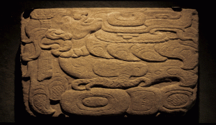
Chiapas is home to the ancient Mayan ruins of Palenque, Yaxchilán, Bonampak, Chinkultic and Toniná. It is also home to one of the largest indigenous populations in the country, with ten federally recognized ethnicities.
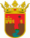
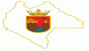
The official name of the state is Chiapas, which is believed to have come from the ancient city of Chiapan, which in Náhuatl means "the place where the chia sage grows." After the Spanish arrived (1522), they established two cities called Chiapas de los Indios and Chiapas de los Españoles (1528), with the name of Provincia de Chiapas for the area around the cities. The first coat of arms of the region dates from 1535 as that of the Ciudad Real (San Cristóbal de las Casas). Chiapas painter Javier Vargas Ballinas designed the modern coat of arms.
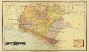
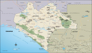
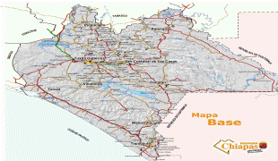
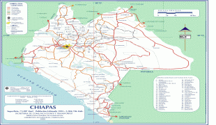
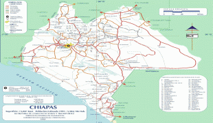
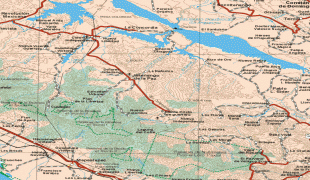
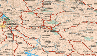
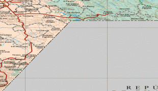
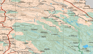
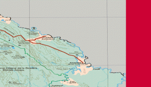
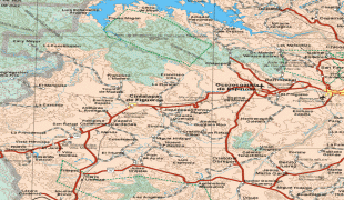
Map - Chiapas (Estado de Chiapas)
Map


Country - Mexico


Currency / Language
| ISO | Currency | Symbol | Significant figures |
|---|---|---|---|
| MXV | Mexican Unidad de Inversion | 2 | |
| MXN | Mexican peso | $ | 2 |
| ISO | Language |
|---|---|
| ES | Spanish language |
